sectors
At Cloud 10, we have years of experience working within multiple sectors for a broad spectrum of clients. The sectors below form a mere snapshot of the project work that we have completed. Please feel free to use the contact form on the website or email us if you wish to discuss specific sectors or projects.
01
Architectural
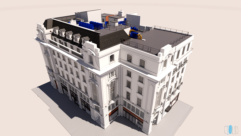
The mainstay of our work is provided by the Architectural sector. At Cloud 10 we produce dimensionally accurate plans and models to facilitate development schemes.
We can provide both 2D AutoCAD plans of elevations, floorplans and sections, and also 2D topographical survey drawings. These can be easily upgraded to 3D models and deliverables.
More commonly now, we produce 3D AutoCAD and Revit models, typically directly from 3D laser scan data.
We can also carry out verified view surveys to allow the correct placing of 3d models into photo realistic planning submissions.
02
Engineering
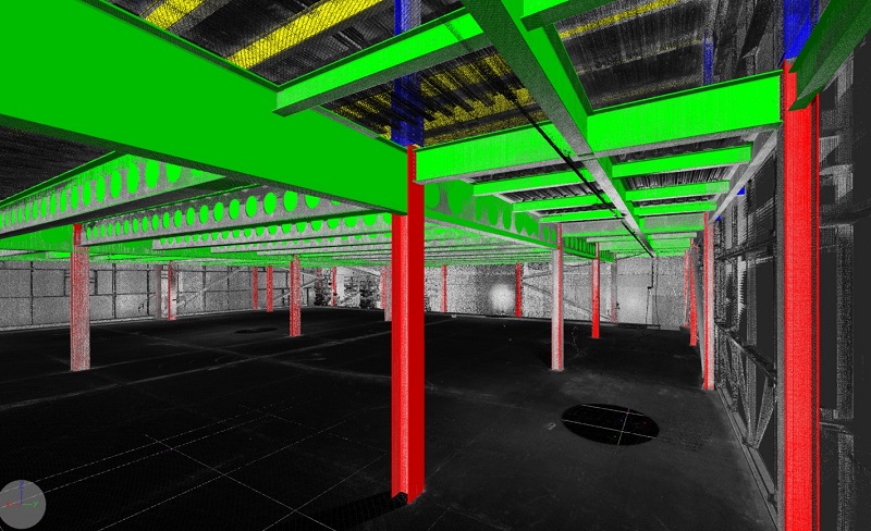
At Cloud 10, we are increasingly contacted by clients within the engineering sector to produce both 2D and 3D AutoCAD deliverables. The nature of point cloud data means that rapid data capture can now be achieved without compromising on the quality.
A 3D laser scan can check the accuracy of site elements such as concrete piles or steel beams, and our team can model them to provide confidence in your scheme.
03
Area and IPMS Surveys and Reports
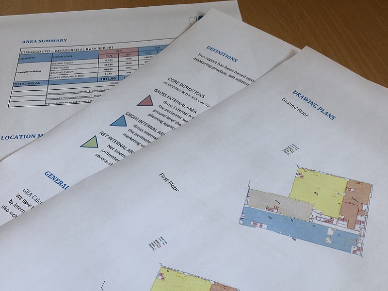
Our 2D plan survey drawings can be utilised in the production of Area Reports to assess the official areas of a building.
We can provide both RICS 6th Edition and IPMS results, and produce simple straight forward PDF report files with tabulated areas, outline plans and a duty of care.
We can also produce red line lease and boundary plans in a Land Registry compliant format.
04
Property Management
At Cloud 10, we are always on hand to assist our Property Management clients. We can provide boundary plans, lease plans and area reports.
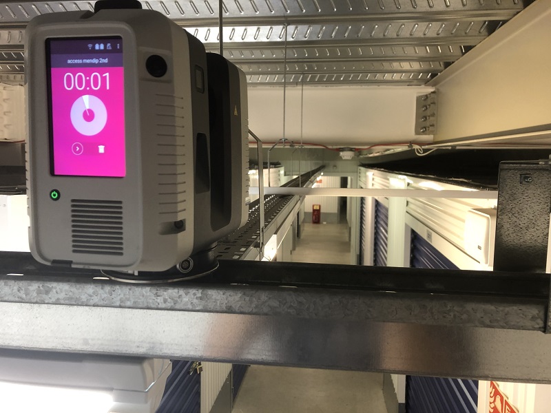
The nature of point cloud data means that rapid data capture can now be achieved without compromising on the quality and this initial data collection can be used throughout the project cycle and for many purposes as the project progressed.
05
Heritage
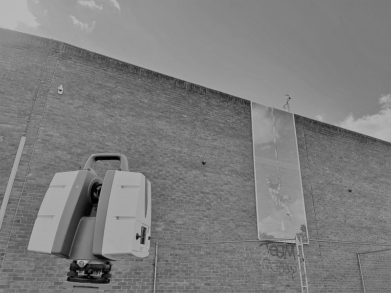
3D Laser scanning techniques are ideally suited to the data capture for historic buildings. Modern highly accurate laser scanners can capture complex building structures quickly and in a non-invasive way.
We can then use the data for historic archiving, floorplan production and animations. We are also adept at producing detailed models for such projects.
06
MEP / Plant / Marine / VFX
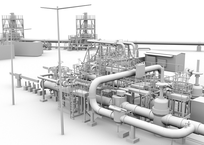
We are able to produce a 3D model or mesh to the level of detail required for your project be it a Plant Room, Iron Bridge, Film Set or Marine Vessel.
This could simply be the centre-lines of the pipework, however, it could as easily be a full detailed model of every beam and rivet if required.
We can supplement the models with raw point cloud exports or Truview browsers to provide a full user friendly record of the area in question.
07
Utility Surveys
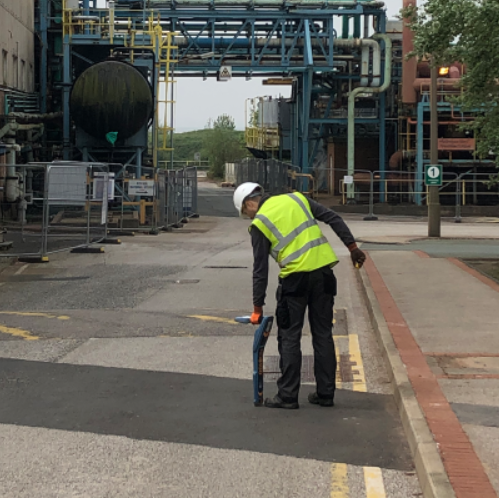
This service allows you to firstly see the overlay of the utility service records from the main providers in a desktop mapping exercise, with a set of records provided in pdf format. Secondly, using the latest Electromagnetic Location (EML) and Ground Penetrating Radar (GPR) techniques, we carry out a site survey to confirm and augment the survey plan, giving you a vital understanding of the potential of future developments.
08
Drone Surveys
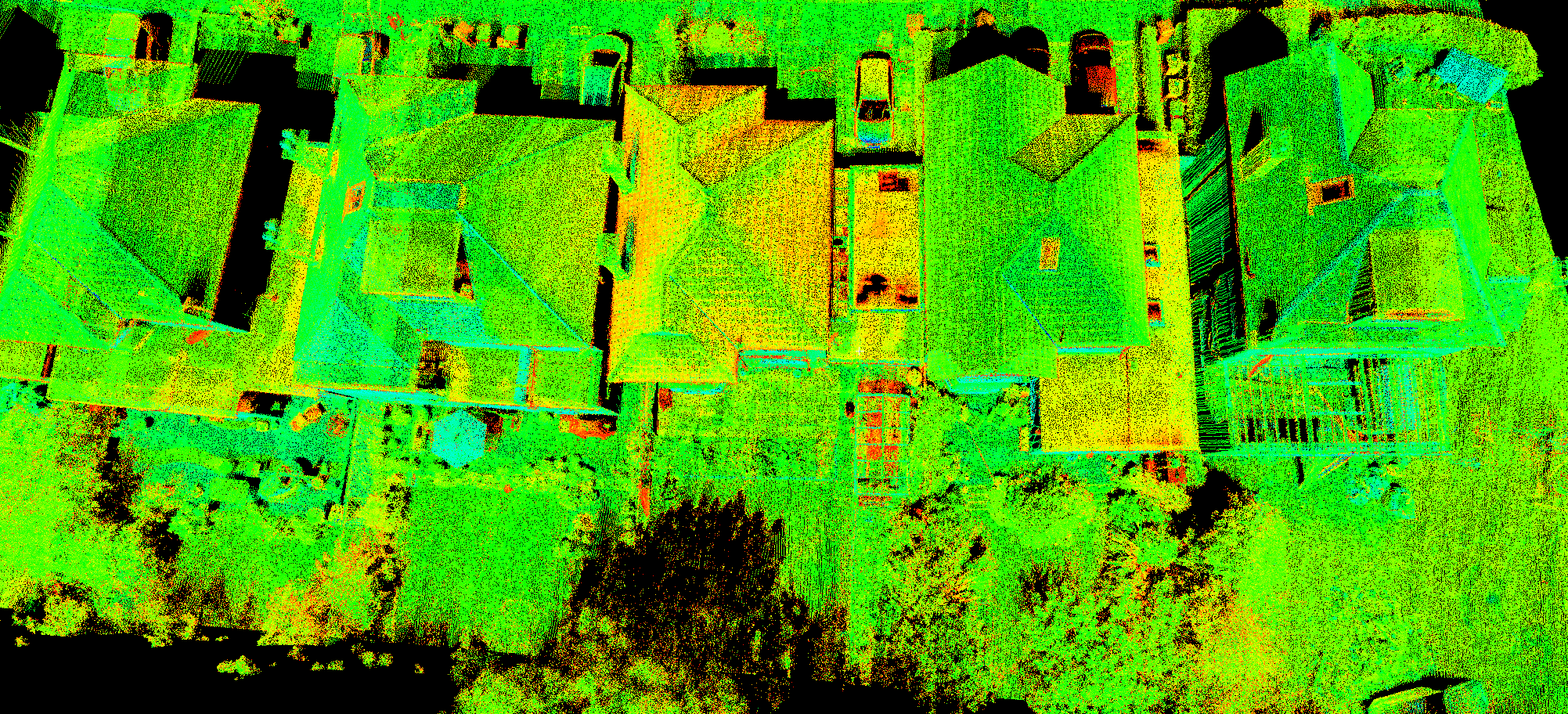
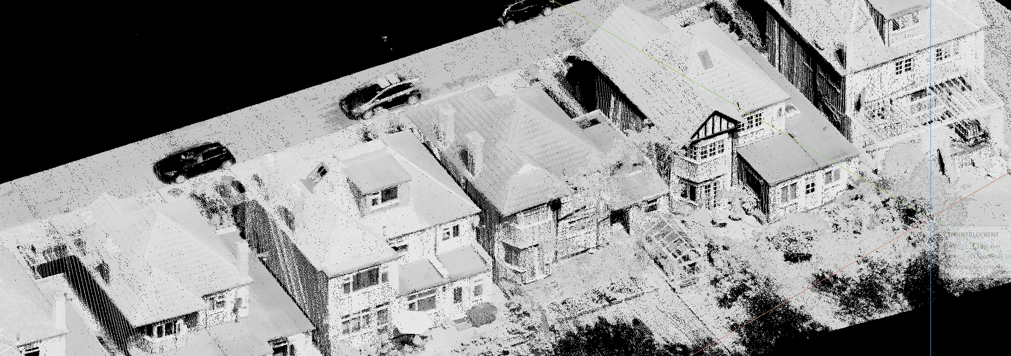
Our standard survey techniques can be augmented with a UAV Drone survey, to survey otherwise inaccessible areas or where large swathes of survey are required.
We use either a laser or camera mounted system to collect point cloud data or imagery, to provide a cost effective method to obtain comprehensive coverage, adding value to your project.
