We are cloud 10 limited
3D Surveyor Specialists
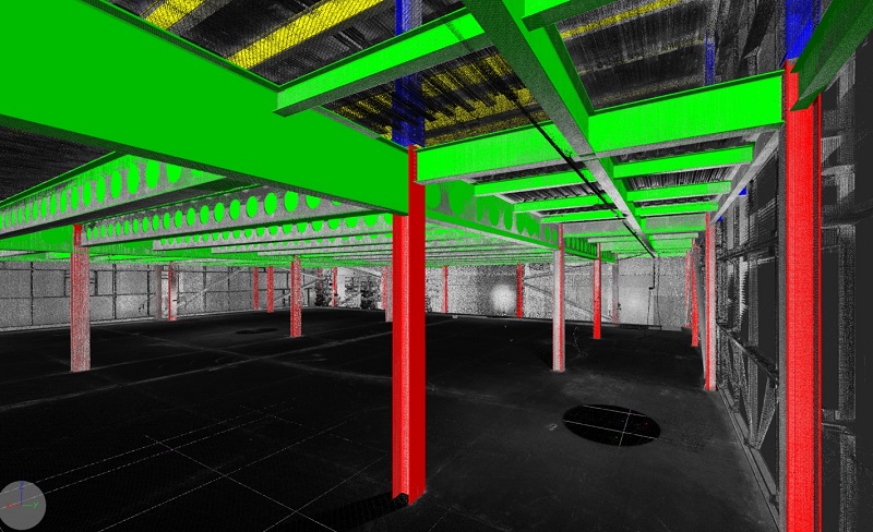
London Surveyor Specialists with expertise in the production of 3D Models for the architectural, engineering and property management sectors, we can offer you innovative solutions working with our own, or your, laser scanner point cloud data.
What we do
At Cloud 10, As survey specialists we can work with you to deliver specific deliverables tailored to your projects. This could simply be to capture the site data, or it may be the creation of a full Revit model.

Data Capture Laser Scanning
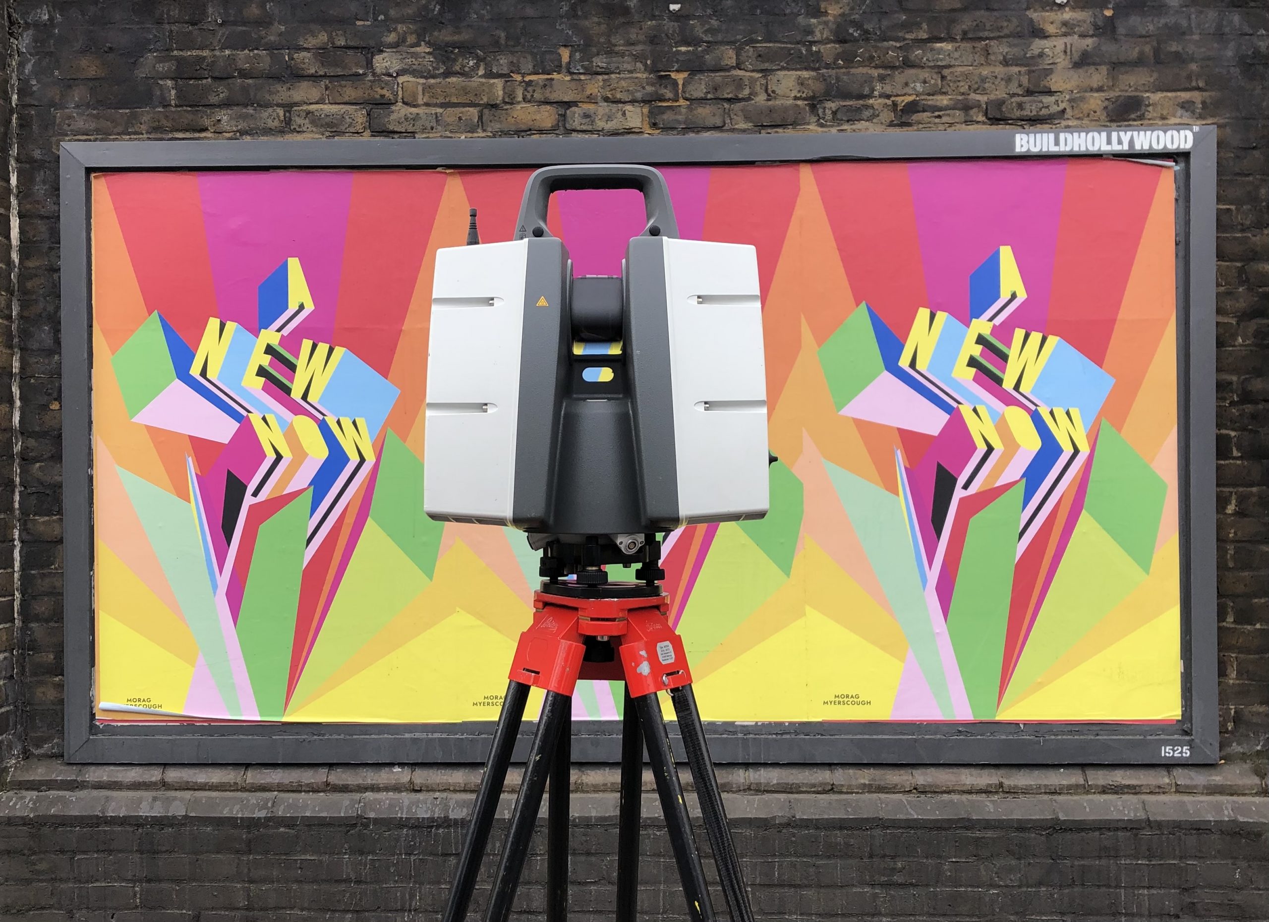
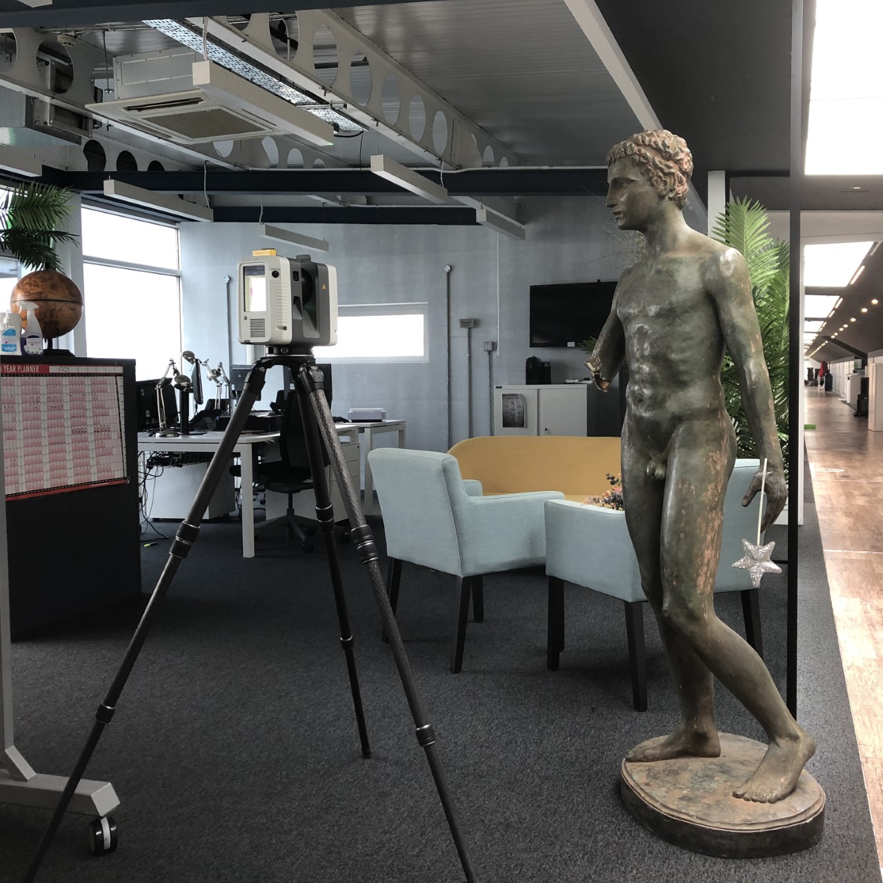
Cloud 10 undertake 3D Laser scanning data capture services using industry leading scanning equipment.

2D Plans, Elevations and Sections
Cloud 10 can produce 2D AutoCAD drawings of all types to satisfy our customers needs.

Point Cloud Services
At Cloud 10 we not only capture our own data but have the ability to work with your pre-captured data.
3D Rights to Lights Models
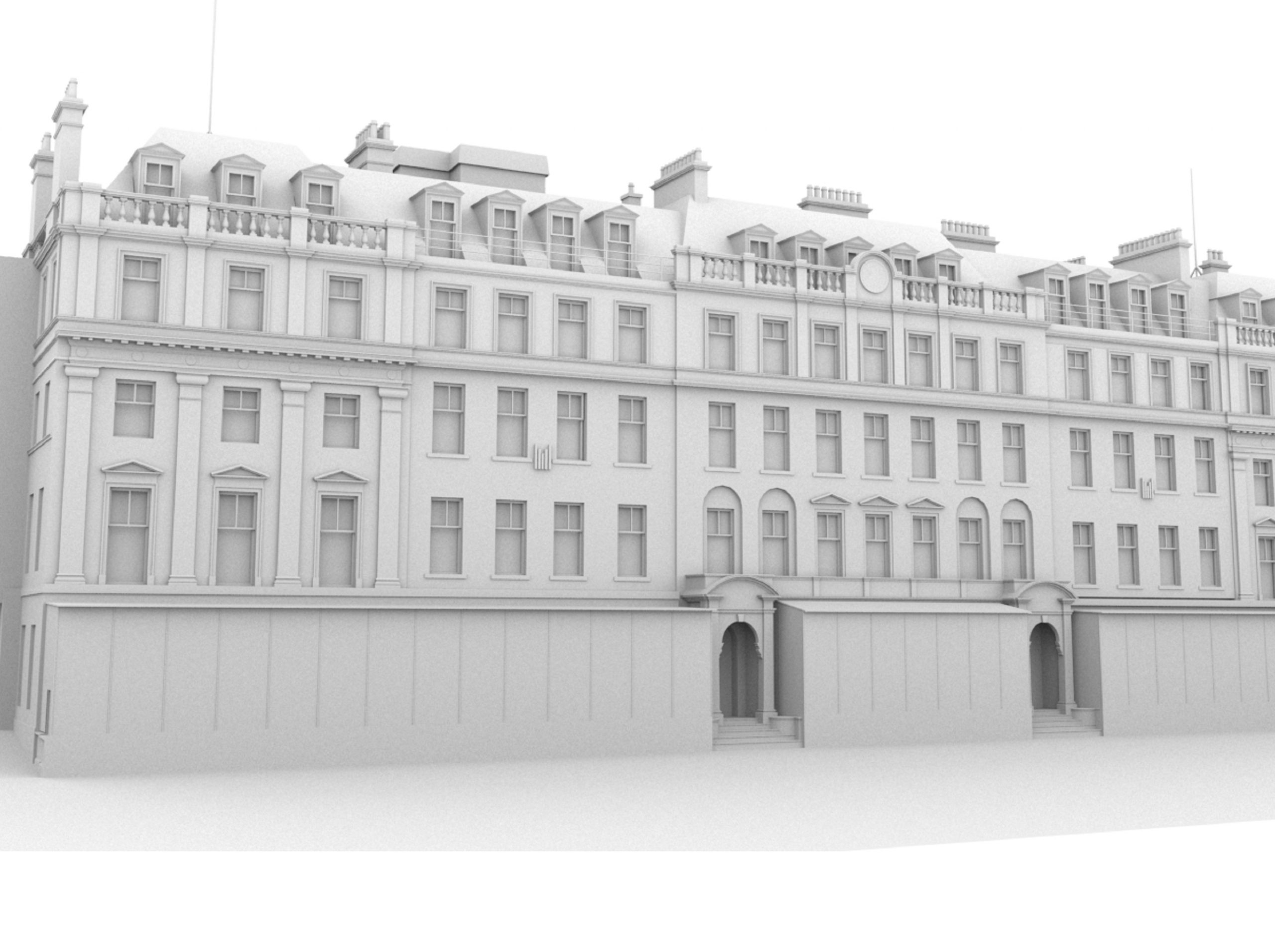
Cloud 10 have worked closely with major practitioners in this field and can produce quick and accurate 3D solid models.

Revit Models Visualisations
The foundations to any model are underpinned by good quality, accurate survey data, and a BIM-ready model is no exception.

Verified View Surveys
Cloud 10 are able to work your team on supplying the accurate 3D survey that holds your pre planning applications together.
Utility Surveys
This service allows you to see the overlay of the utility service records and to obtain a site survey in order to confirm and augment them.
Drone Surveys
Our survey techniques can be augmented with a UAV Drone survey, to survey otherwise inaccessible areas or where large swathes of survey are required.
Thermal Imaging
This service detects heat loss, roof leaks, and electrical faults to improve insulation and keep your property safe and energy efficient.
Matterport 3D Capture
Explore Cloud 10’s Matterport 3D Capture Services. Precise Digital Twins for real estate, construction, and architectural projects.
our sectors
At Cloud 10 being Surveyor Specialists, we have built up years of experience working for a broad spectrum of clients.
The sectors below form a mere snapshot of the project work that we have completed. Please feel free to use the contact form on the website or email us if you wish to discuss a specific project.

Architecture

Area and IPMS Surveys and Reports

Heritage

Engineering
Property Management
MEP / Plant / Marine / VFX
Our memberships and accreditations
Data Capture Laser Scanning
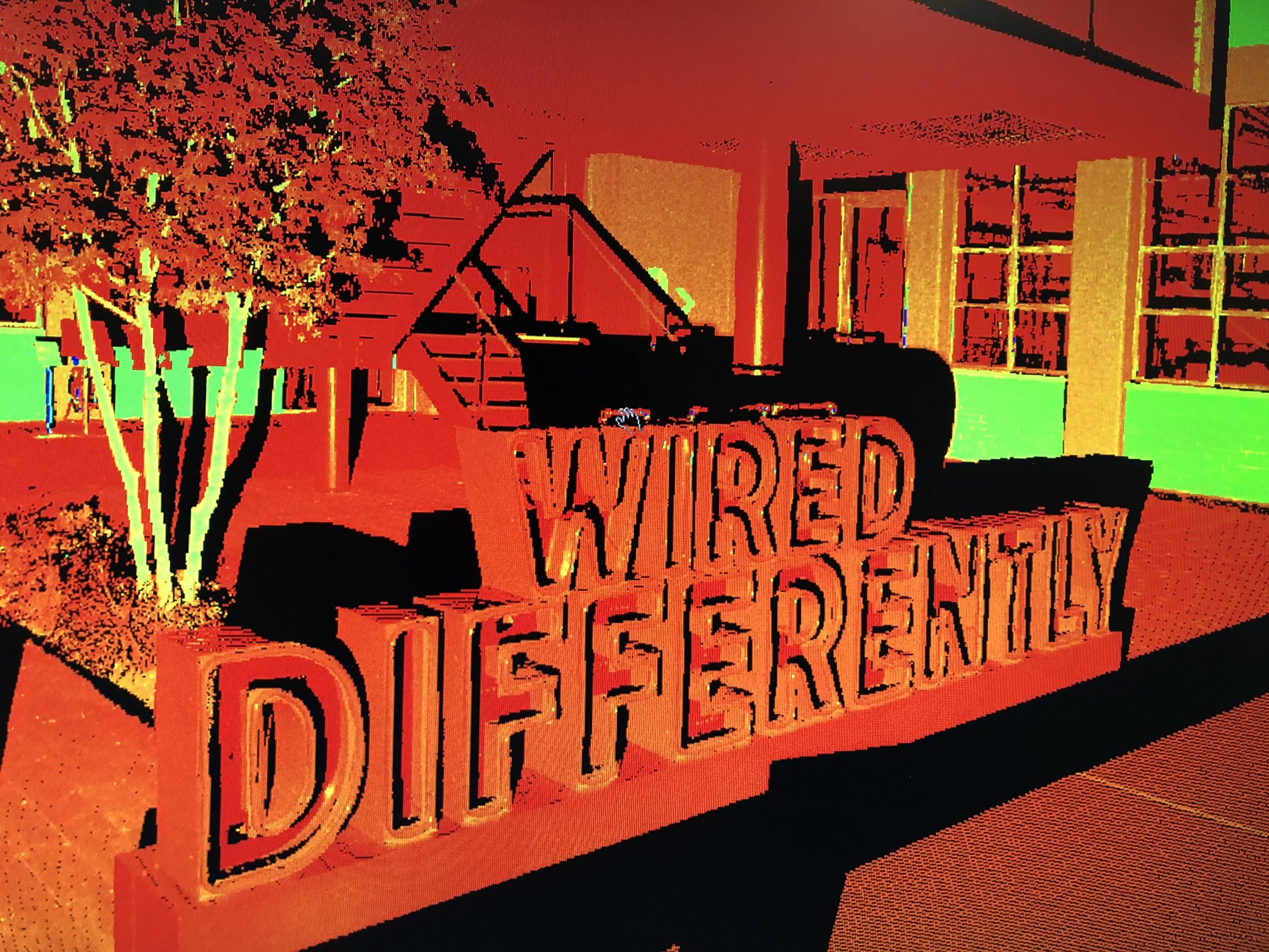
At Cloud 10 we undertake 3D Laser scanning data capture services using industry leading scanning equipment.
This means that we capture the best quality data in the shortest possible timeframe.
We can produce intensity or coloured pointcloud and in whatever format you require allowing you to view and use the scan data as 3d pointcloud, such as .PTS, .RCP, Truviews and .LGS.
Point Cloud Services
At Cloud 10, we not only capture our own data but we will work with your pre-captured data.
Whether you are new to the 3D laser scanning market and simply wish to have assistance whilst your skill set is developing, or if you are a long standing user with a surplus of data to process, then Cloud 10 can assist you.
We can work with data that has already been pre-registered in any format or we can take your raw scan files straight from the scanner.
2D Plans, Elevations & Sections
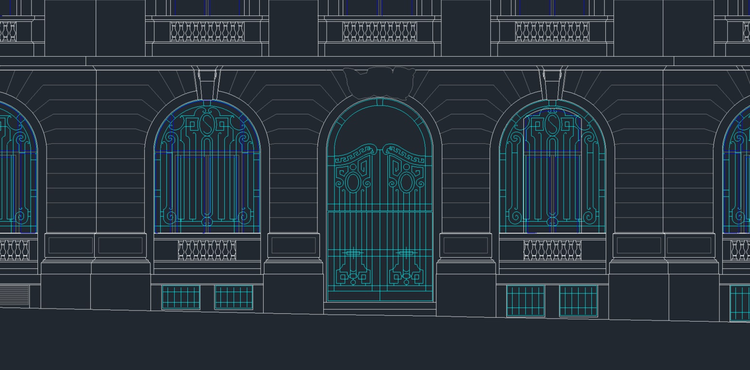
At Cloud 10, we can produce 2D AutoCAD Drawings; either from point cloud data or from traditional measured survey techniques.
This covers such elements as floorplans, elevations, sections and internal elevations.
These can all be presented at whatever scale and level of detail you require.
This may include data for planning permissions, area reports or heritage documentation.
3D / Rights of Light Modelling
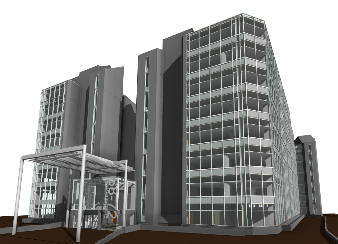
Cloud 10 have worked closely with major practitioners in this field and can produce quick and accurate 3D solid models, ready for analysis.
We are fully aware of the requirements of the MBS analysis software and provide detailed models that smooth the workflow for our clients.

Revit Models Visualisations
The foundations to any model are underpinned by good quality, accurate survey data, and a BIM-ready model is no exception.
At Cloud 10 we can produce a highly accurate Revit model, ready for ‘Intelligent’ data to be added.
We can also produce animations, TruView files or fly throughs of the scan data and the CAD deliverables.
Verified View Surveys
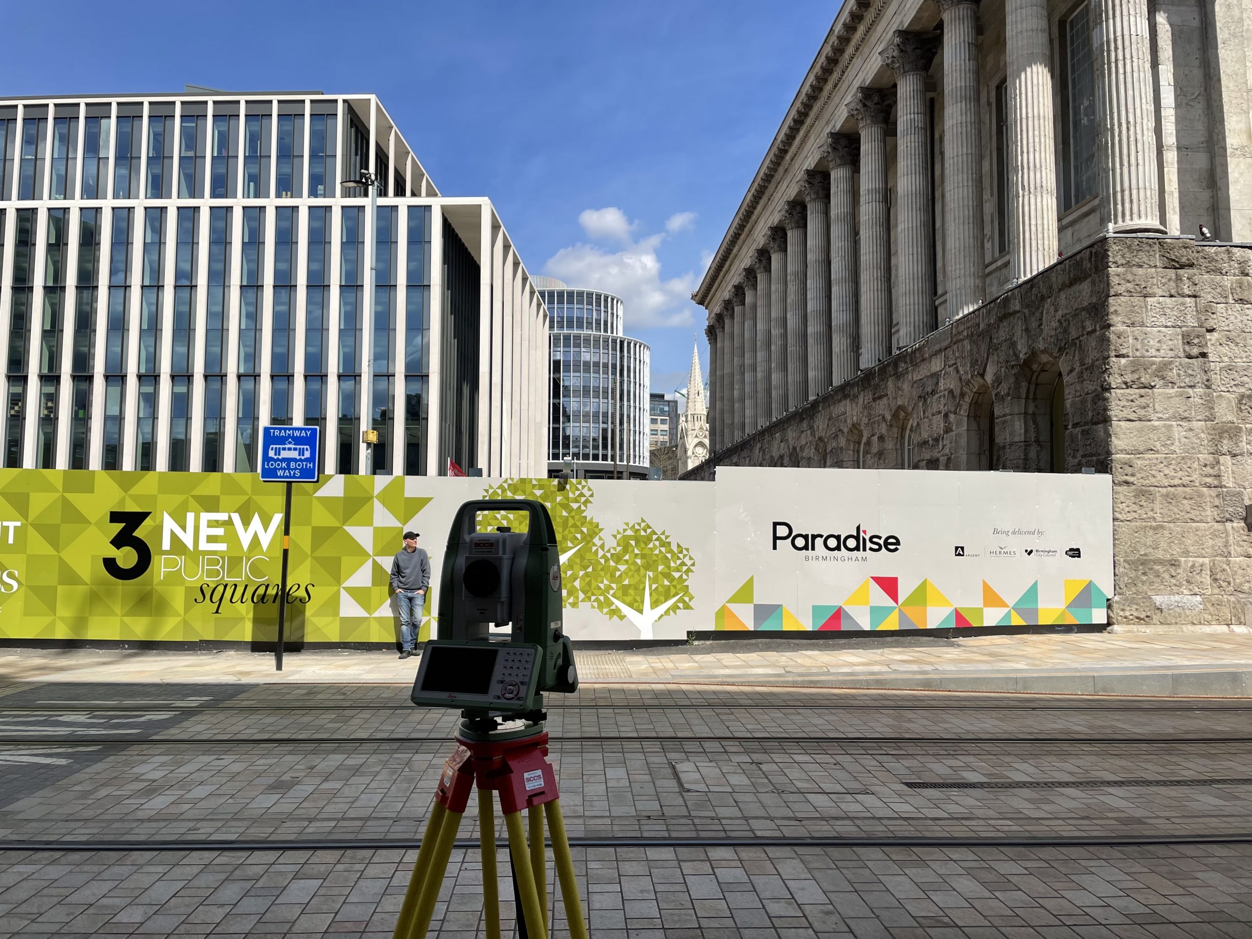
Cloud 10 are able to work your team on supplying the accurate 3D survey that holds your pre planning applications together.
We collect survey data based upon GPS and total station observations and work with photographers to provide 3D AutoCAD survey.
Along with a marked photo and excel listing to allow you to align views and place your designs within a photorealistic montages for planning submissions.
Utility Surveys
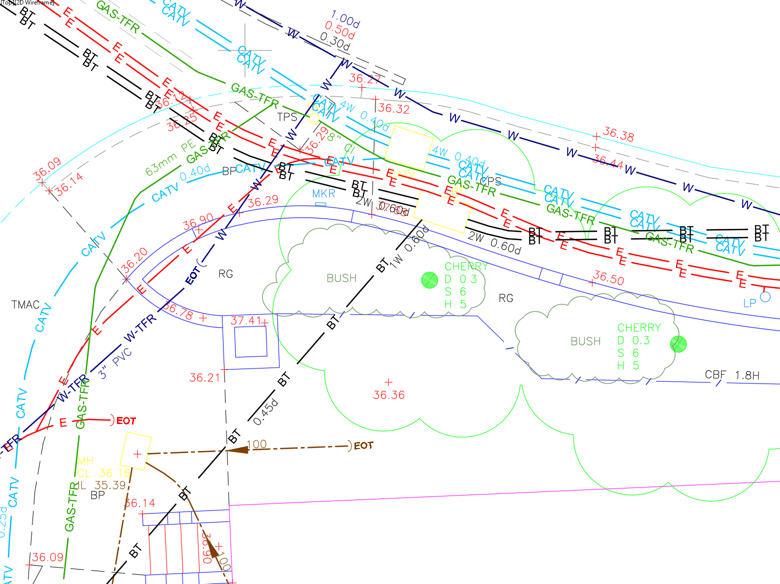
This service allows you to firstly see the overlay of the utility service records from the main providers in a desktop mapping exercise, with a set of records provided in pdf format. Secondly, using the latest Electromagnetic Location (EML) and Ground Penetrating Radar (GPR) techniques, we carry out a site survey to confirm and augment the survey plan, giving you a vital understanding of the potential of future developments.
Drone Surveys
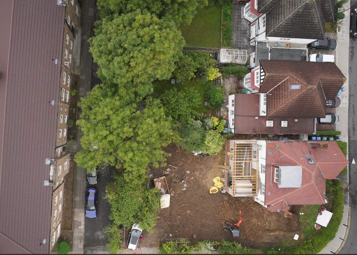
Our standard survey techniques can be augmented with a UAV Drone survey, to survey otherwise inaccessible areas or where large swathes of survey are required.
We use either a laser or camera mounted system to collect point cloud data or imagery, to provide a cost effective method to obtain comprehensive coverage, adding value to your project.

